New York State
Cornell University's Geospatial Information Repository
"CUGIR is an active online repository providing geospatial data and metadata for New York State, with special emphasis on those natural features relevant to agriculture, ecology, natural resources, and human-environment interactions."
New York State GIS Clearinghouse
The Clearinghouse provides a repository for data and metadata resources and an extensive collection of downloadable data.
Datasets of the NYS Museum
A good source for statewide bedrock and surficial geology data in New York. There are also links to historical USGS maps for New England.
NYS Geographic Information Gateway
This site provides interactive query access to geographic boundary files, Census attribute data for various levels of statistical and political geography, and predefined thematic maps illustrating various economic and demographic characteristics of the population.
US/World
Geospatial One-Stop
The one-stop shop for Federal, State, and Local GIS data provided by the Federal Government.
The National Map Viewer
"The National Map is a consistent framework for geographic knowledge needed by the Nation. It provides public access to high-quality, geospatial data and information from multiple partners to help support decision making by resource managers and the public." The geographic information available from The National Map includes orthoimagery (aerial photographs), elevation, geographic names, hydrography, boundaries, transportation, structures, and land cover.
US Topo
The next generation of digital topographic maps from the USGS. Arranged in the traditional 7.5-minute quadrangle format, digital US Topo maps are designed to look and feel like the traditional paper topographic maps. Users can turn geographic data layers on and off; zoom in and out to highlight specific features or see a broader context; and print the maps, in their entirety or in customized sections, on a wide variety of printing devices.
UN Environmental GeoData Portal
A source for data sets used by UNEP and its partners in the Global Environment Outlook (GEO) report. The online database contains national, subregional, regional and global statistics and geospatial data sets (maps), covering themes like Freshwater, Population, Forests, Emissions, Climate, Disasters, Health and GDP. Display them on-the-fly as maps, graphs, data tables or download the data in different formats."
Global Land Cover Facility
The GLCF is “ the best open source for Landsat TM and Landsat ETM data on the planet”. And it's free....
WorldClim is a database of high spatial resolution global weather and climate data. These data can be used for mapping and spatial modeling. Data are available as raster data for historical cliimate data, historical monthly weather data, and future cliimate data.
Printable
Perry-Castañeda Library Map Collection
The University of Texas' extensive collection of printable maps - both modern and historical.
United Nations Cartographic Section
More than 100 General Maps are currently available. Includes general maps, peacekeeping maps and various thematic maps. Most are in PDF format.
David Rumsey Map Collection
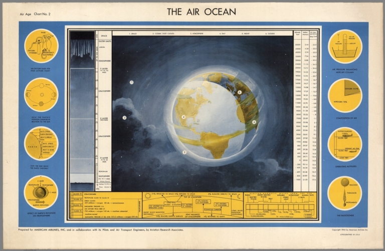
The David Rumsey Historical Map Collection has over 10,000 maps online. The collection focuses on rare 18th and 19th century North and South America maps and other cartographic materials.

